Earlier on, I had decided to split the hike to Mt Whitney into two hard days followed by three easy ones. I would then camp just 8 kilometers from the Mt Whitney summit the last night and finish the hike the next morning.
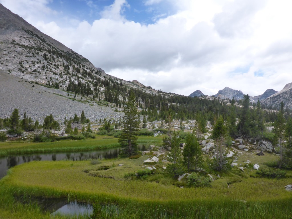
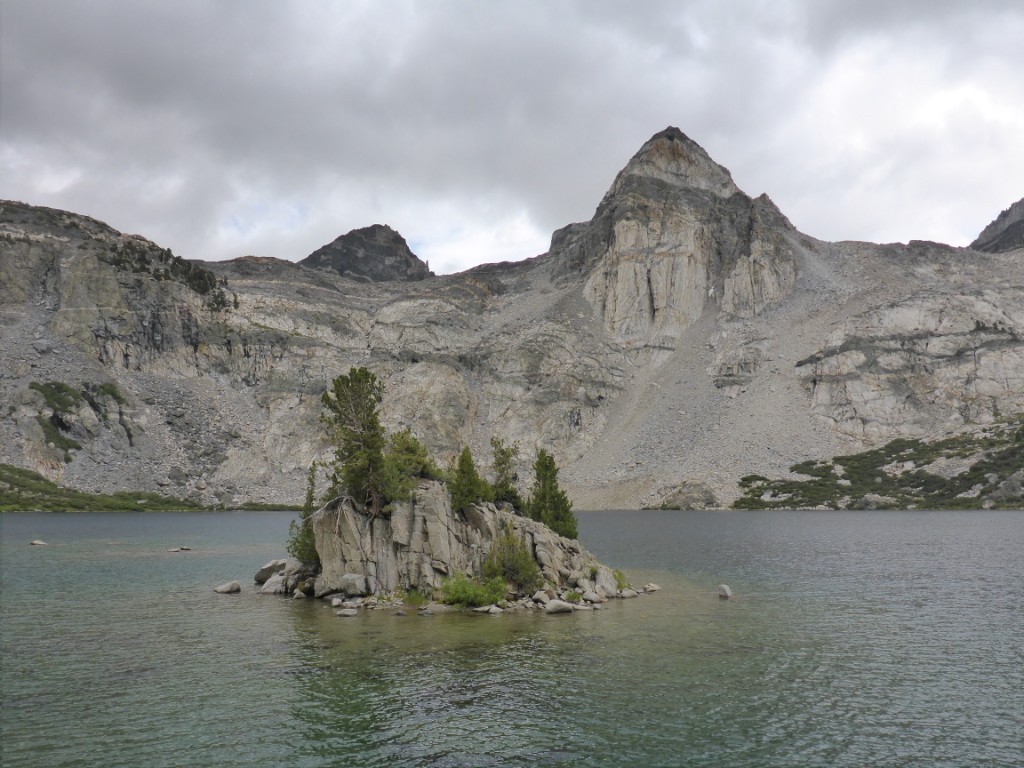
The next day, day 142, was one of the easy ones, so I took my time and didn’t start hiking until 10AM. This day, all I had to do was hike down a valley, cross a river and hike back up, to Rae Lakes. Only about 22 kilometers in total. Compared to the last couple of days that was nothing, and by 3PM I arrived at my campsite.
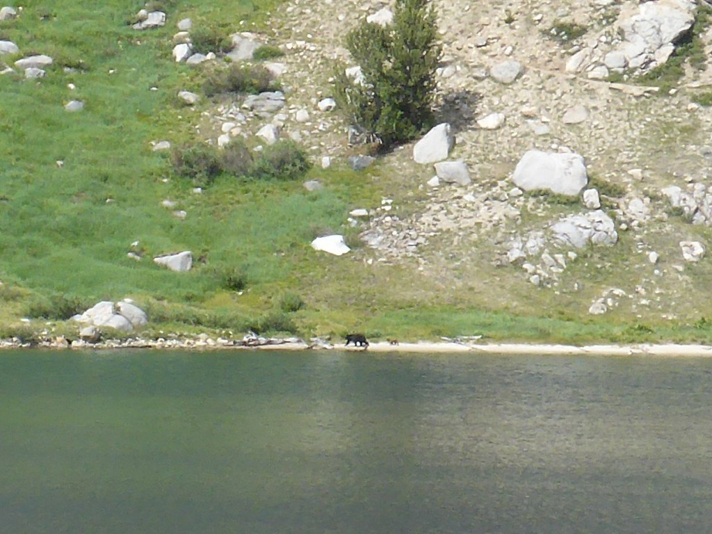
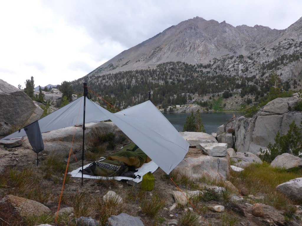
My plan was to fish and swim for a bit, but unfortunately the weather had other plans in store. Not long after I had finished setting up my tarp, it started raining. I spend the remainder of the day in my bivy watching movies and reading on my phone. Late in the afternoon I noticed a bear and its cub walking along the lakeshore across from me. Really cool, but unfortunately a little too far to take nice pictures.
By next morning the weather had cleared up. A good thing too, because even though this would once again be an “easy” 24 km day, I did have to cross two passes: Glen and Forester.
Well, the way up Glen Pass was terrible. It was super steep and rocky. Suffice to say I was pretty tired by the time I got up there. The only good thing I can say about this pass is that it’s only about 3 kilometers from Rae Lakes to the top.
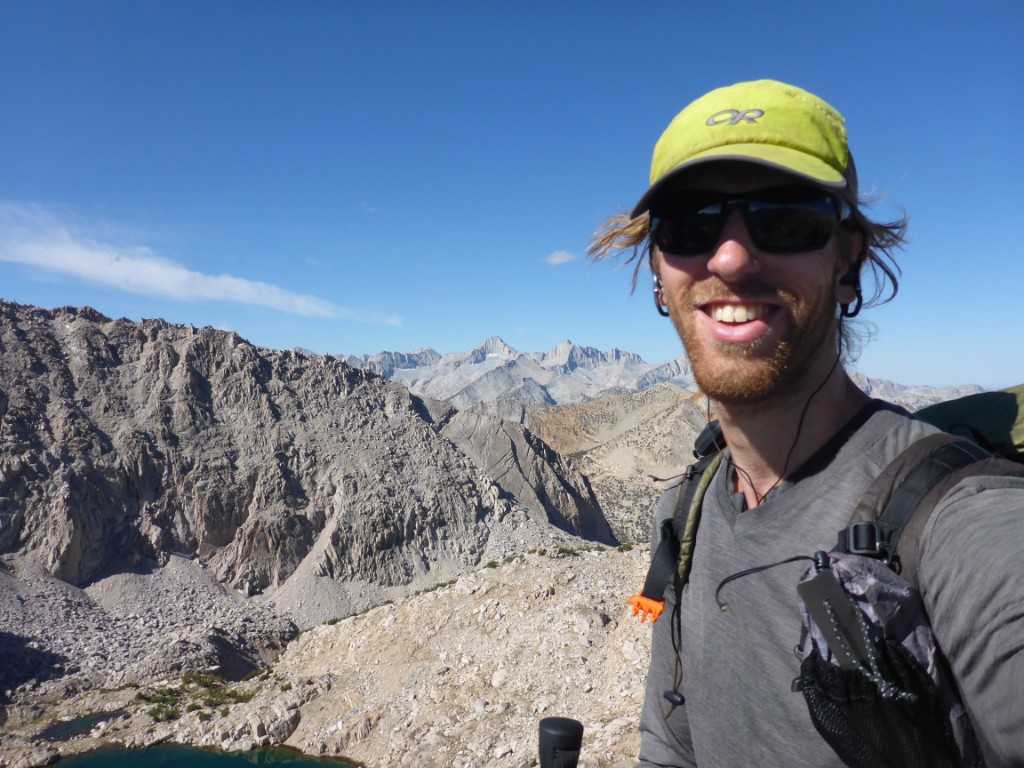
What probably didn’t help was that one of my trekking poles was set 10 cm too long, I had forgotten to shorten it after taking down the tarp. I pushed on those poles super hard during uphill sections, so hard in fact that during the first 4 days of my JMT hike I got a tennis elbow in my right elbow because I was taking such a high load off of my left knee. Luckily both the elbow and knee strengthened after a while and after those initial days both were fine.
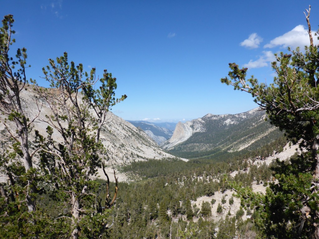
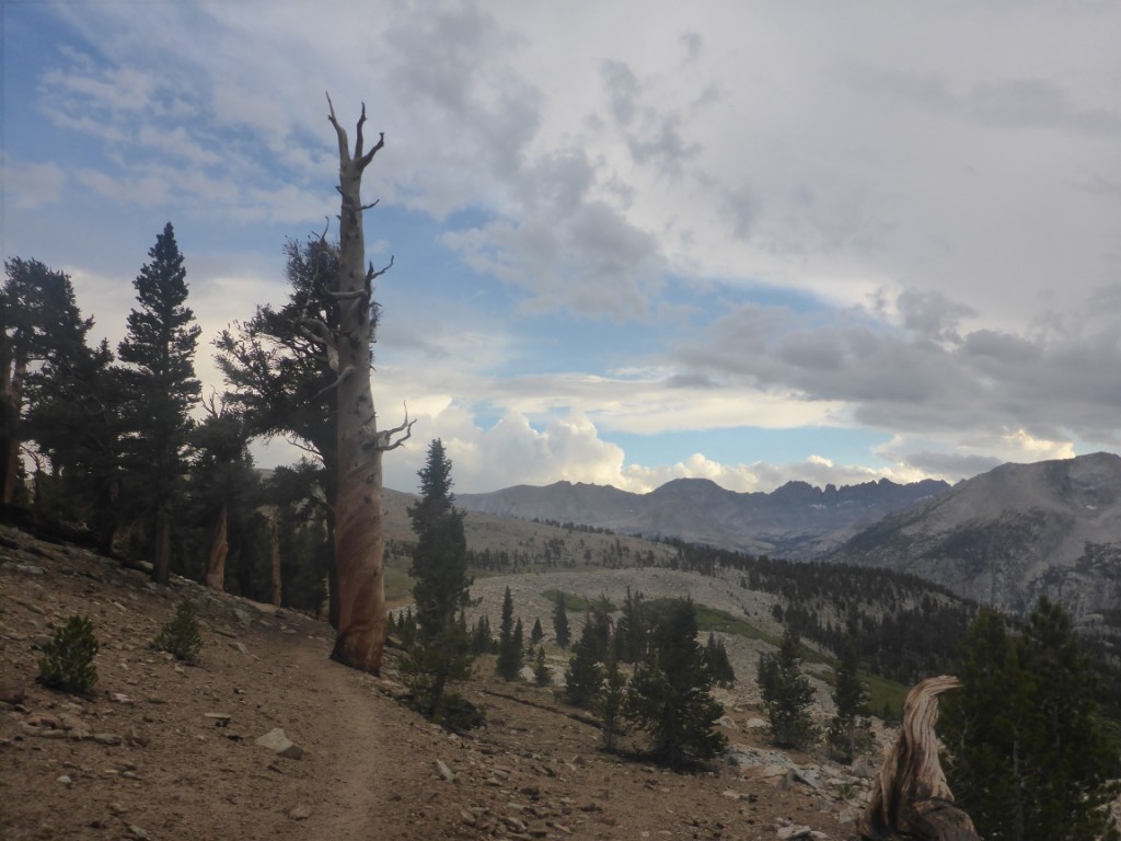
The way down Glen Pass seemed to last forever, but once I got to the uphill section towards Forester Pass all was well again. Although Forester is the highest pass before Mt Whitney, the way up is a gradual 13 km, no steep sections.
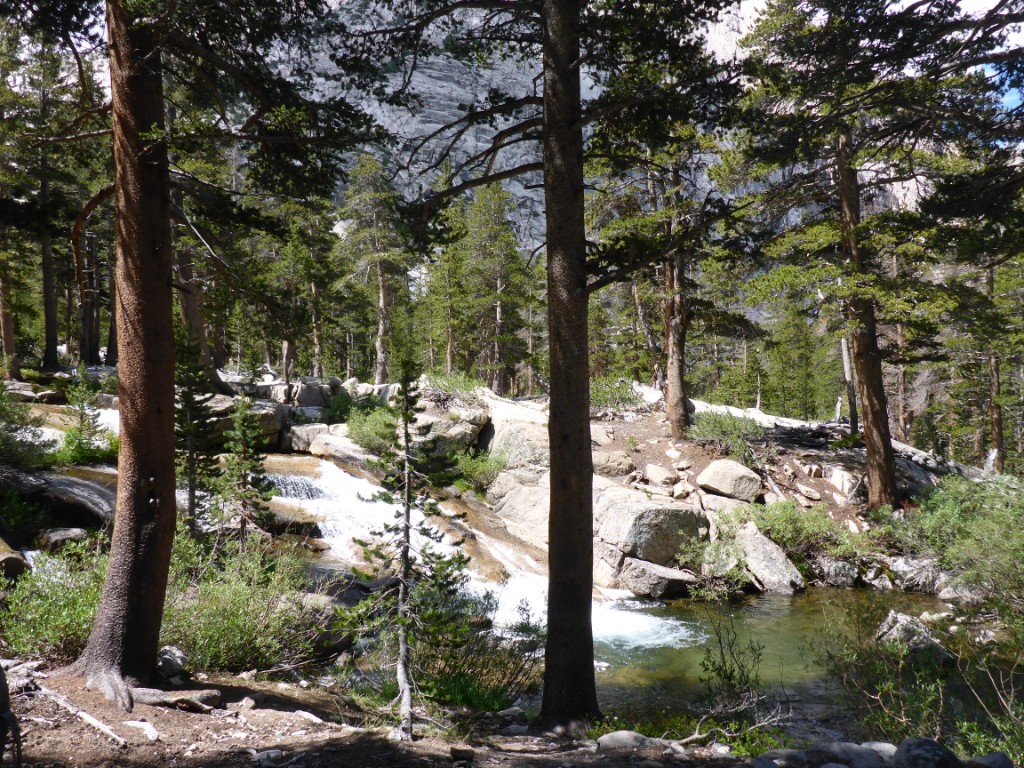
Along the way was the very nice Bubbs Creek, where I sat down to filter some water. While doing so, I noticed that, as usual, there were trout everywhere. I got out my fishing line (didn’t bother with the rod) and tossed the fly towards a trout. In flowing rivers, trout often stay in the same position, so it was easy to know where to aim. Unfortunately, my arm movement gave me away and the trout went into hiding. This repeated a couple of times and I was ready to give up.
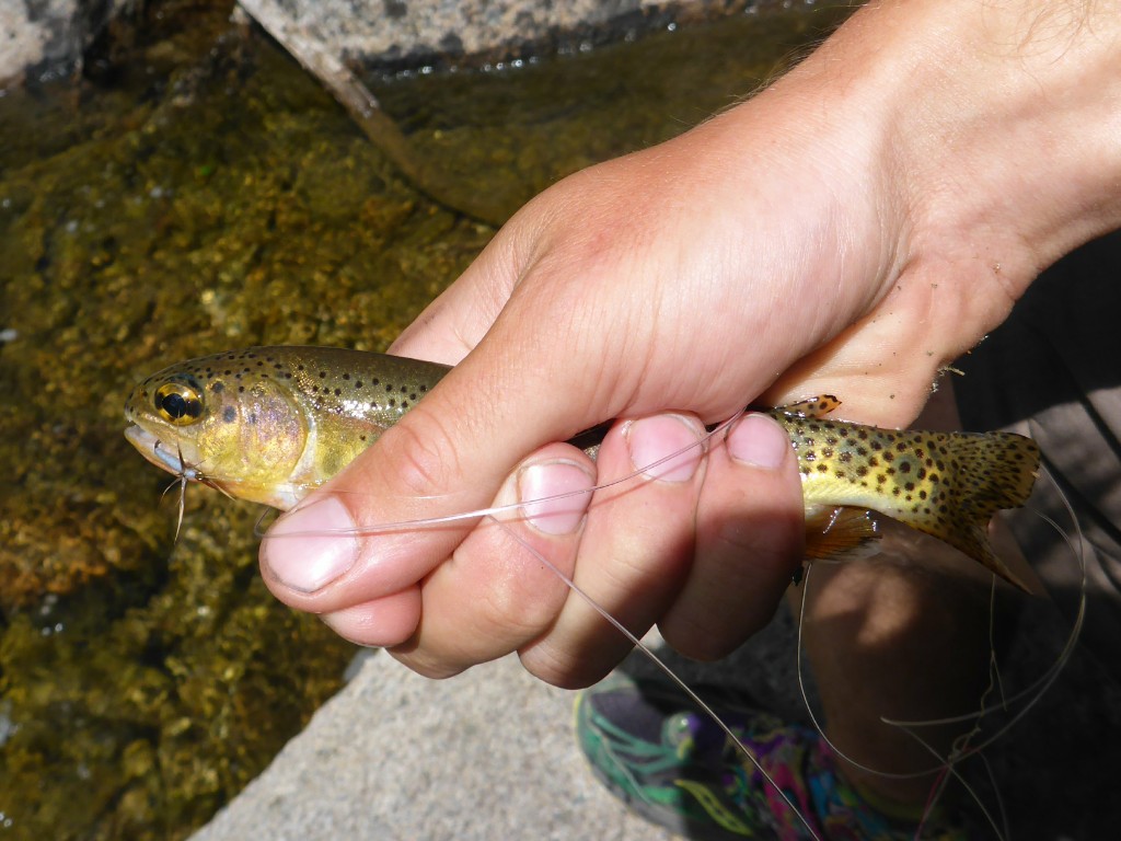
One last time I threw the fly in, this time from behind a rock. Pulling on the line, it seemed as if it had gotten stuck. But no, a trout was on :)! My first catch fly fishing was rather meager, but nevertheless I was really happy to finally have landed a fish. A beautiful rainbow trout to boot!
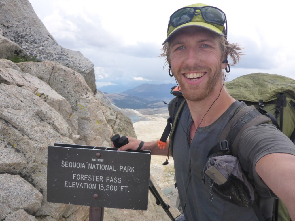
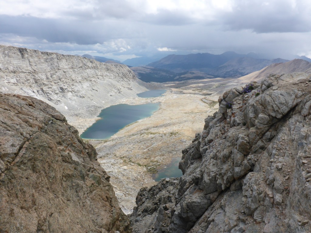
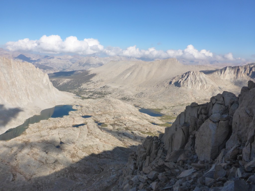
With the trout released back into its river, I resumed my push for Forester Pass. The way up was fantastic, really gradual, Ska-P pushing me on, my legs pumping away as if it was nothing. Other hikers along the way called me “bullet” and “dynamo” :). Soon, I stood on top the 4023 meter high pass!
By then however dark clouds had rolled into the valley and a thunderstorm was starting to unleash. Afraid it would move towards me, I and a couple of other guys sped down the pass. The place I intended to camp was just below the pass, I was nearby! Unfortunately, all there was to find was wide open grassland, the treeline was still a few kilometers away.
Not wanting to camp in a high open space with a raging storm heading closer, I kept going for the nearest forest. As soon as I got there I noticed a few other tents and, rain still pouring down, I set up the tarp. Sadly, water started pooling underneath and I wasn’t really willing to test just how waterproof the bottom of my bivy sack is.
Abandoning all hope for my soaking wet camping spot, I packed up the tarp again. The rain had abated a bit and the thunder and lightning moved away. This was now the second of my three easy days that had been ruined by rain. Not wanting to risk the third day being ruined as well, I determined to cut my trip one day short and hike about 16-24 more kilometers before going to sleep.
It was already 6PM however, so time was not on my side. After having crossed a couple of creeks swollen by the rainfall, darkness set in and I still found myself at least 8 km short of where I wanted to get. Only one option: continue hiking in the dark.
With my headlamp as trusty companion, I kept going. Although the trail wasn’t too hard to find, I was a little unnerved at the idea of encountering a mountain lion. Bears didn’t quite worry me so much, since all they are after is the food in the pack. Mountain lions on the other hand might just decide that I seemed like a tasty morsel. Luckily, noise is supposed to scare both of them off quite easily, so I made a lot of it scaping my trekking poles along rocks and banging them together.
There were two times I wasn’t a 100% sure that I was still following the trail, but with two apps on my cellphone that showed me exactly where I was, this was quickly fixed. Around 9:45PM, having just passed the Crabtree ranger station, I decided to call it a night. I was about 7 kilometers from Guitar Lake (my originally planned camping spot before summiting Mt Whitney), had cut my trip one day short, and had just hiked 45 kilometers over 2 passes. Pretty good day by any measure, I thought.
A quick dinner of energy bars later, I crawled into my bivy, ready for sleep. Regrettably, I had hiked the last three hours with all of my clothing on and had sweated profusely doing so. My top layers were all wet… This was to be the last enjoyable night of them all, every 30 minutes I would wake up, mostly because my back was so cold due to the wet clothes. Taking them off was not an option either, since I was sleeping at nearly 3000 meters of altitude, so it wasn’t exactly warm outside.
The next morning by 6:30AM I was ready to start my trek to the summit of Mt Whitney. The first 7 kilometers to Guitar Lake were easy and along the way I encountered the couple I met near the top of Pinchot Pass. Next up was about 3 kilometers of switchbacks to the Whitney Trail Junction, where the JMT meets the trail down the other side of Mt Whitney. Longest 3 km of my life! Urgh, the switchbacks just didn’t seem to end.
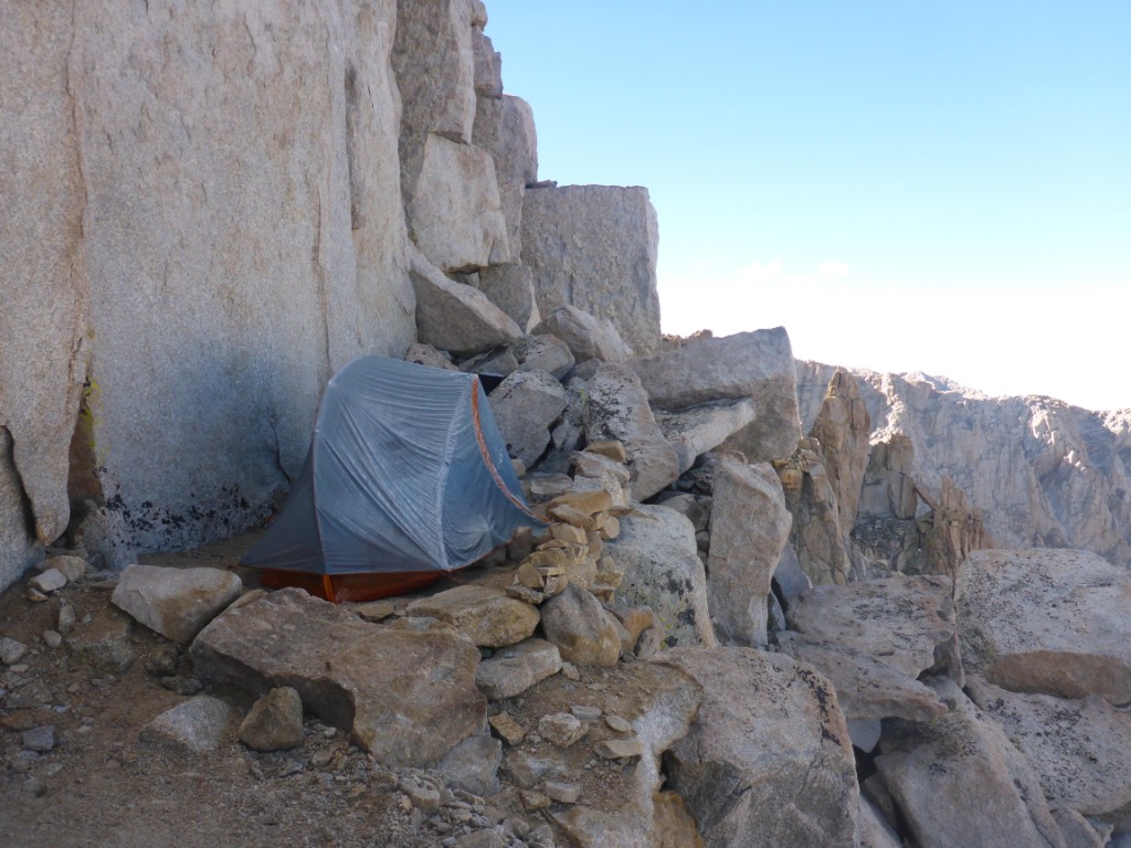
Someone had set up their tent on the switchbacks! Must have gotten caught in the hailstorm the day before.
Eventually I managed to reach the Junction and had a bunch of food to power me for the last 5 kilometers up to the summit. Many people left behind their backpack there, but I thought that was kind of cheating and lame. I had carried it all this way, surely another 5 kilometers wouldn’t make the difference? So on it stayed, couldn’t have weighted more than 8 kg at this point anyway.
Well, if the way up to the Junction were the longest 3 kilometers ever, then the way to the summit was the longest 5 km. It seemed as if it was going to forever remain out of reach. Every step was harder than the one before and I seemed to have slowed down to a crawl. So did the people before and after me though, so I figured all was well. Might have been the lack of oxygen at this altitude.
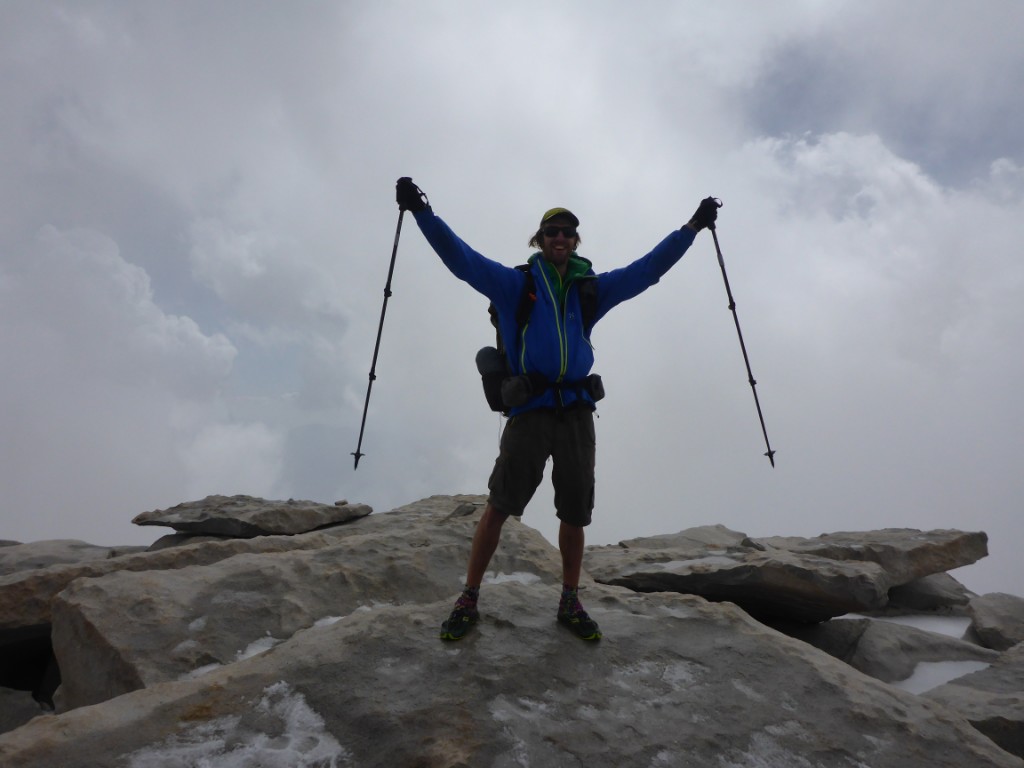
Eventually, by 10:18AM, I stood at the top, 4421 meters high! This is also the official endpoint of the JMT, which means I finished after 11 days and a handful of hours (and that one obligatory rest day in Tuolumne)! Not bad for someone who never hikes or runs :). I had a couple of pictures taken, signed the summit book, and then headed back down.
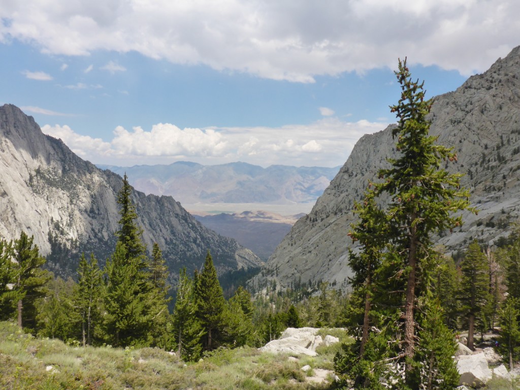
The views from the top of Mt Whitney were absolutely amazing. I didn’t want to stick around though, because it seemed as if bad weather might have been rolling in. More importantly, I really wanted to get to Bishop before 4PM so I could get a delicious sandwich from Schat’s Bakery as a reward for my efforts.
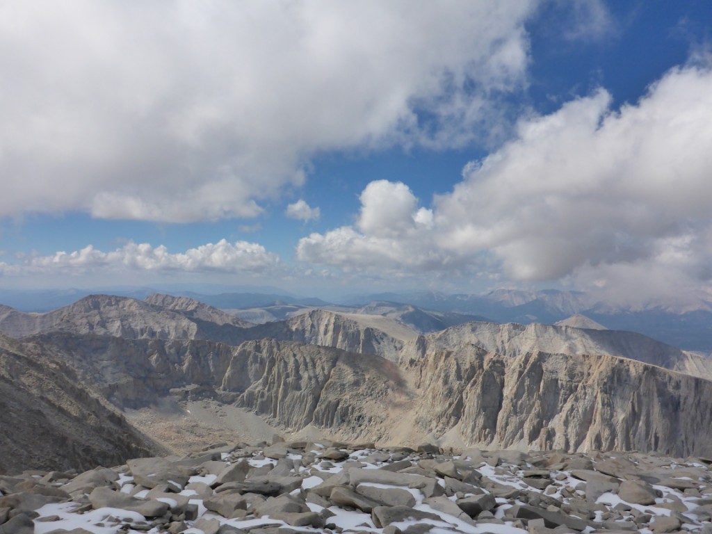
A shot from the summit of Mt Whitney. The picture really doesn't do reality justice, this was one of the best views on the whole JMT.
If it wasn’t clear yet from all my rambling and the many pictures: the JMT is amazing and you should go hike it. There’s great views, lots of cool animals and pretty flowers and tons of interesting people along the way. And no, no bear is going to come and eat you at night ;). Start planning, go!
Even though the JMT ends at the summit, the nearest trailhead is a little under 20 kilometers away. More hiking to do! My goal was to make it down to the Whitney Portal trailhead by 2PM, which I figured would give me just enough time to make it to Bishop by 4PM.
The way down the very top of Mt Whitney was great, going down the snow. After that however, was a super long switchbacks with lots of loose rocks. Thinking the worst was over after this, I was proven wrong… The next half hour the trail was at times barely visible and full of loose or slippery rocks. By 12:25PM, I was still approximately 10 kilometers from the trailhead and was starting to worry I would not make it there by 2PM.
I decided to kick things up a notch. Mom and dad, that means I was extremely super careful :). Luckily, the trail for those last 10 km proved to be in great condition. Most of it, I could almost run down, vaulting over rocks on the trail with the help of my trusty trekking poles. Near the end, I got a cramp in my right quadriceps, but this was no time to give up, so I kept going. There would be plenty of time to whine about it later. Sandwiches were priority number one!
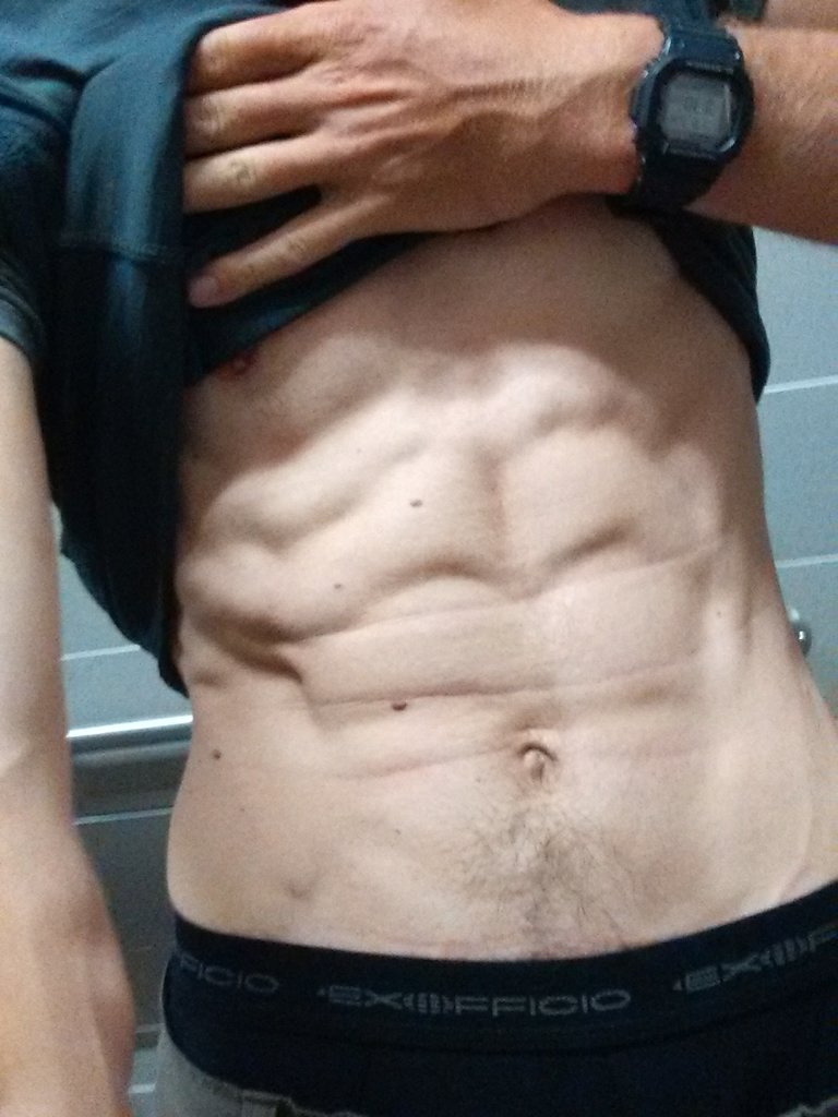
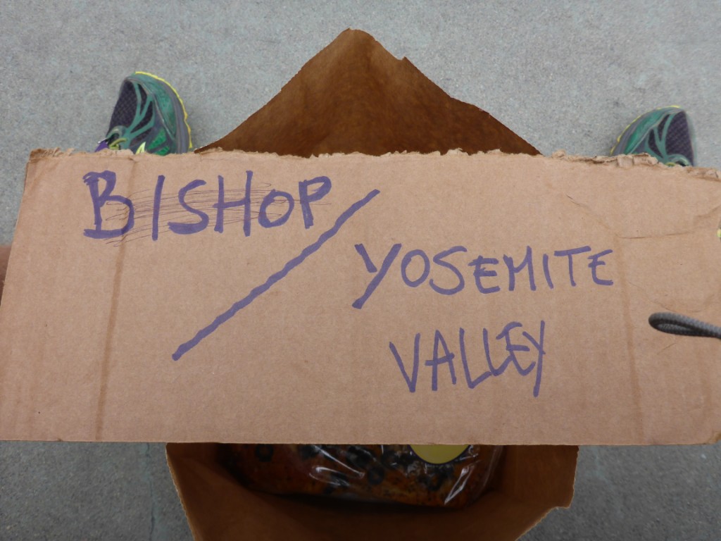
Finally, by 2:05PM, I made it down to the trailhead. I grabbed some Gatorade and a piece of cardboard from the local store and prepared for the hitchhiking. There was a scale at the store as well, which told me I had lost about 7 kilograms and now weighted 65 kg. Whatever fat there was to begin with had been burned during the hike.
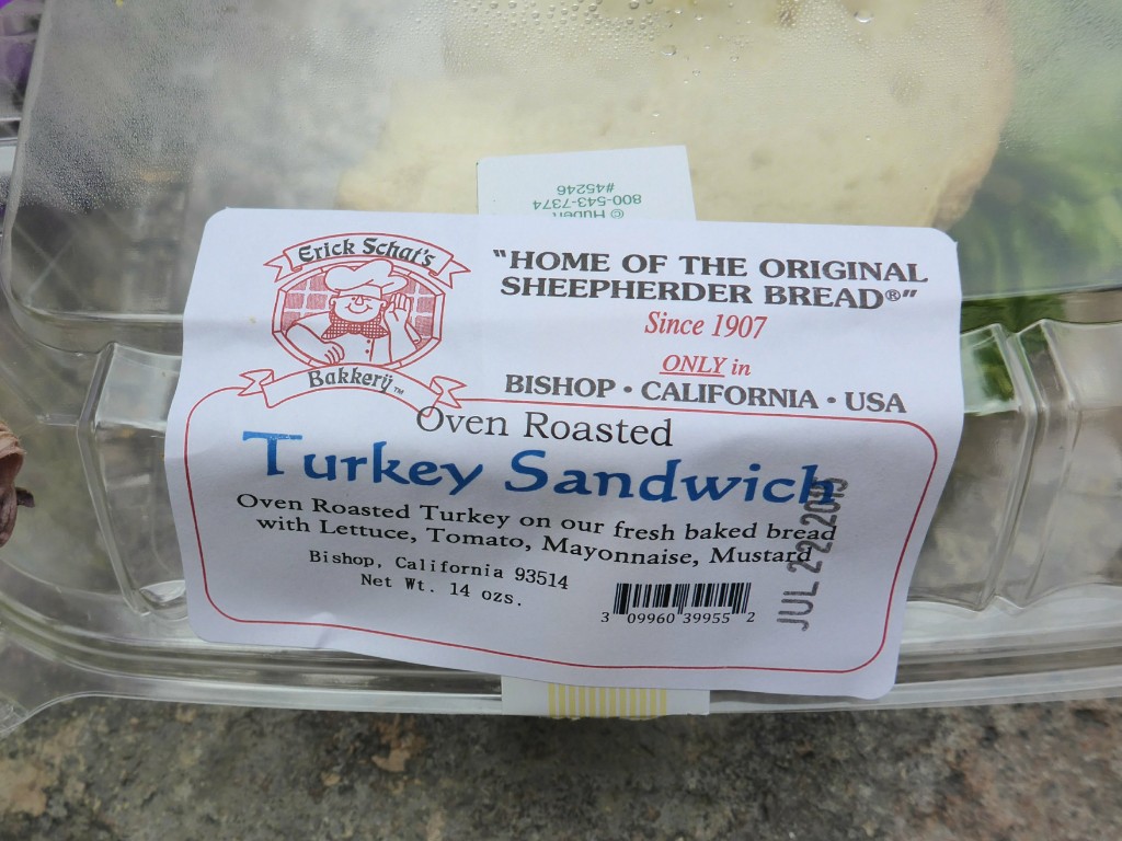
The very first car that offered me a ride was heading to Bishop. The driver and his passenger were also hiking the JMT, but had taken a short break to get more food. We arrived in Bishop at Schat’s Bakery by 3:58PM. Perfect! I got myself 2 big sandwiches and a huge loaf of olive bread. Weight gain, here I come!
After devouring the sandwiches, I resumed the hitchhiking. This time it proved to be a little trickier, but eventually I got a lift to June Lake, about 10 minutes driving from the road into Yosemite. By now it was around 7PM and car after car passed me by without stopping, even though every single one had to pass by the destination on my cardboard.
Fed up with it, I got another bigger piece of cardboard at a nearby shop and rewrote “Direction Yosemite” in huge letters. Less than 10 minutes later, five Danish guys offered me a ride. They were driving back to their campsite in Tuolumne. Perfect! We arrived there around 8:30PM, sunset, so I was doubtful I would be able to get a lift into the Valley, where my car was parked, that same day.
Turns out my doubts were unfounded. I had my thumb out for litteraly 5 seconds when a car stopped to pick me up. The driver was a passionate hiker himself and made a habbit of always giving other hikers a ride. The whole way down to the Valley he told interesting tales about the many hikes he had done all over the USA.
By 9:30PM, we arrived at Curry Village. I headed for the bar, got a big glass of beer and chomped down half of the olive bread I’d bought in Bishop. My new body fat wasn’t going to appear out of thin air, that stuff requires hard work!
By the time I was ready to go to sleep, everyone at the Upper Pines campground had already turned in, so I couldn’t exactly ask someone to share a site with me, my usual approach. I also couldn’t be bothered to hike the long mile to the backpackers campground, no more hiking today. In the end, I just put down my bivy next to a tree in the Upper Pines campground and went to sleep. No one bothered me for the night.
